


Why Sheffield Is Called the Gateway to the Peak District (and What That Means for Your Trip)
Sheffield is called the gateway to the Peak District because the national park reaches the edge of the city, and the moorland begins where the suburbs end. The name is not a marketing invention. It reflects a real geographical fact that shapes how residents and visitors move between urban streets and open hillside within a short journey.
The Peak District National Park was designated in 1951 and was the first national park in the United Kingdom. Much of it lies in Derbyshire, with smaller areas in neighbouring counties. Sheffield's position on the park's eastern side is what gives the city its unusual access to upland landscape. For anyone who wants to combine city heritage with countryside time, it is a natural starting point, and the fact is worth understanding before you plan a trip.
Where the City Meets the Moor
The transition from city to countryside is most visible on the western and northern edges of Sheffield. Streets of terraced housing give way to wooded valleys, and then to open grass and rock. The Rivelin Valley is a good example, with a path that follows the water through woodland and past old mill sites that once used its flow for industry. Walkers can be on quiet ground within a few minutes of the last bus stop, and the change in sound alone, from traffic to running water, makes the shift clear.
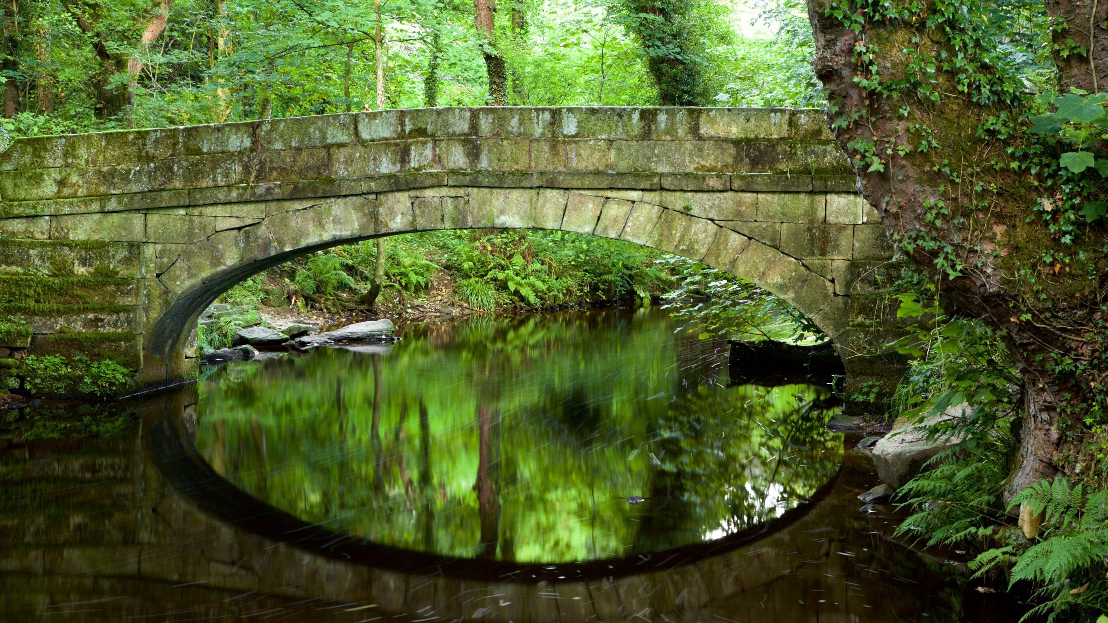
This closeness is unusual for a large English city. Many cities sit on flat ground with no visible hills, so their residents must travel a long way to reach open country. In Sheffield the hills are part of the city's identity, and the day-to-day view from many neighbourhoods includes ridgelines that lead directly toward the national park. That visual continuity is a large part of why the gateway description has stuck, and it is why many residents think of walking as an everyday option rather than a special trip.
The edge is not a single line on the ground. Paths, bus routes and footpaths cross the boundary at many points, so the experience of stepping from the city into the countryside depends on where you start. Some routes give a gradual change, while others climb quickly and leave the urban area behind within an hour. A good way to choose is to pick a starting point you can reach easily, then decide how high you want to go once you are there.
What the National Park Boundary Means in Practice
National park status shapes much of what happens in the landscape. Planning rules limit the scale of new buildings, conservation work protects habitats and archaeological sites, and the footpath network is maintained with the visitor in mind. The boundary is a planning line rather than a fence, so the difference between a field inside the park and one just outside it may be hard to see, yet it can matter a great deal for what can be built there.
For visitors, the practical effect is that the countryside near the city is managed with a long-term view. The working landscape approach is one example, where farming, conservation and public access are planned together rather than treated as separate concerns. Walkers who notice well-kept stone walls, managed woodland edges and signposted routes are seeing that planning at work.
Because the park is run for both residents and visitors, its rules tend to be practical. Dogs are often welcome but must be kept under control near livestock, cycling may be restricted on some paths, and some areas are closed during the breeding season for ground-nesting birds. Read the local notices when you arrive, since they reflect conditions on the ground more accurately than a general guide can, and they change with the seasons.
Sheffield Manor Lodge Within the Wider Landscape
Sheffield Manor Lodge sits in the south-east of the city, and its history gives a good sense of how land was used long before the modern boundary was drawn. The remains of the Great Sheffield Deer Park show a managed landscape of grazing, woodland and enclosure, which is a different kind of upland use but one that shaped the countryside in a similar way. Seeing the manor first makes the later moorland landscape easier to read, because the same patterns of enclosure and open ground recur as you move outward.
The history overview on the site outlines the occupation of the manor from its early origins to the Tudor period, and it is useful background before any walk on the wider hills. Knowing that the land around the city has been shaped by people for many centuries helps explain why the boundary between town and country is so blurred in places. Old field patterns, tracks and walls can still be traced in many parts of the surrounding countryside.
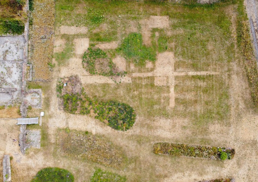
A visit to the manor can therefore be a useful first step in understanding the wider area. Ask about the history of the land you plan to walk on, since many local footpaths follow routes that were used for centuries before they were marked on modern maps.
Using Public Transport at the Edge
Reaching the edge of the national park by public transport depends on the route you choose. The city's tram network and bus services cover much of the urban area, and bus routes head toward the villages on the edge of the moors. Rail services run through the Hope Valley toward the heart of the park, so the choice between bus and train depends on where you want to start your walk.
Timetables are often lighter at weekends and in the evening, so plan your return journey before you leave the city. Some villages have only a few services each day, and a missed bus can turn a short walk into a long wait. Keep the operator's app or printed timetable with you, and allow extra time for the final stretch on foot. Check whether the stop you plan to use has shelter and a timetable board, since rural stops can be very basic.
The discovery centre at the manor is a useful place to ask about current options before you set out, particularly if you are travelling with children or with equipment that makes buses harder to manage. Staff can often point you to the most reliable connections for the day, which saves time on the morning of the trip.
Planning Your Trip With the Gateway in Mind
Treat the gateway as a set of decisions rather than a single destination. Choose whether you want a short edge walk, a day on the moor or a longer stay in a village. Each option changes the transport plan, the clothing you need and the time you have left for the city's heritage sites.
A sensible approach is to start the day in Sheffield, visit the manor or another city site in the morning, and head toward the edge in the afternoon. This keeps the early hours free for travel and avoids the rush at popular trailheads. If the weather turns, a city park or a valley path offers a fallback without the need for a long drive. Many visitors find that the best days combine one city stop and one upland walk, rather than trying to cover everything at once.
Finally, check conditions before you commit to a route. Wet ground, low cloud and early darkness can change a walk quickly, even when the city below looks dry and calm. The gateway is a convenient link between two landscapes, but the upland part still needs the same respect that any moorland walk demands, and a sensible plan will always leave room for a turn-back decision.
Frequently Asked Questions
Is Sheffield inside the Peak District?
The city's edges touch the national park, and parts of the wider urban area sit close to the boundary. Most of the built-up city lies outside the park itself. The answer depends on which part of the city you mean, so check a map if precise location matters for your plans.
Why is the Peak District called a national park when it spans several counties?
National park status is a designation that is not tied to county lines. The park has its own authority, which plans and manages the land across the area. This allows one set of rules to apply across a landscape that crosses several local government boundaries.
Is public transport good enough to reach the Peak District from Sheffield?
Public transport works well for the main valleys and towns, particularly by rail into the Hope Valley. Rural villages may have few services, so plan the return trip carefully. Many visitors use a combination of train and bus, with a taxi for the final stage.
When is the best time of year to walk on the edge?
Spring and autumn are popular because the weather tends to be more settled and the light is good for photographs. Summer brings longer days but also busier car parks. Winter walks are possible but need proper equipment and an early start.